3 min read

Chief Underwriting Officers Want Answers, Not Imagery

Chief Underwriting Officers Want Answers, Not Imagery

The market for geospatial property data is shifting from raw imagery to pre-digested, decision-ready analytics, and the implications ripple across the underwriting stack.

For the better part of a decade, carriers and MGAs invested heavily in aerial and satellite imagery. The pitch was compelling: high-resolution pixels, updated frequently, layered into underwriting workflows. The problem? Pixels by themselves don't underwrite anything. Someone still has to interpret them, and that interpretation step is where cost, latency, and inconsistency live.

A recent piece in the Property Intelligence Report captures the growing sentiment among Chief Underwriting Officers: they don't want more pixels. They want extracted attributes, confidence scores, and condition assessments delivered in a format their systems can ingest without a human squinting at a rooftop.

Why the Shift Is Happening Now

Three things converged. First, carriers that bought imagery platforms five or six years ago have had enough time to measure ROI, and for many the answer was disappointing. The imagery was great; the lift to loss ratio was marginal because adoption inside underwriting teams stayed low. Adjusters and underwriters didn't have time to become photo interpreters.

Second, computer vision matured enough that vendors can now extract roof condition, vegetation encroachment, accessory structures, and a dozen other attributes automatically with reasonable accuracy. The extraction layer commoditized faster than most people expected.

Third, reinsurers started asking harder questions about data consistency in submissions. If one underwriter eyeballs an image and calls a roof "fair" while another calls it "poor," the aggregated data feeding treaty renewals is noisy. Structured, machine-extracted attributes reduce that noise.

What CUOs Actually Want

The ask is surprisingly specific. CUOs want property condition scores and attribute sets delivered via API, matched to their book at the policy level, with confidence intervals attached. They want to know: what is the roof age estimate, what is the probability the property has a trampoline, is there a detached structure within 10 feet of the main dwelling, and how much defensible space exists around a WUI-exposed home.

They want this at bind, at renewal, and ideally on a continuous monitoring basis so mid-term changes (a new pool, a tree falling on a roof) surface before the next claim. The image itself can sit in a link for the underwriter who wants to verify. But the default workflow should be structured data in, decision out.

Implications for Insurtech Vendors

If you're building or selling geospatial property intelligence, the competitive moat is no longer image freshness or resolution. It's extraction accuracy, attribute breadth, and integration simplicity. Carriers are consolidating vendors. They don't want five point solutions for roof, yard, flood zone, wildfire, and building footprint. They want one or two vendors who deliver a comprehensive property profile.

Vendors still leading with a "look at this beautiful image" demo are going to find themselves losing deals to competitors who lead with a JSON payload and a validation report. The buyer has changed. CUOs are thinking about integration cost, attribute accuracy at scale, and how the data flows into rating and portfolio management, not how pretty the orthomosaic looks.

On Your Monday Morning

  • Underwriting leaders: Audit how your team actually uses imagery today. If adoption is low and most underwriters skip the image review step, that's a signal to shift budget from raw imagery toward pre-extracted attribute feeds.
  • MGA operators: Check whether your delegated authority agreements require specific property data attributes at bind. If they don't yet, expect that to change at your next capacity renewal. Get ahead of it.
  • Insurtech builders: If your product delivers images and expects the user to interpret them, start building (or partnering for) an extraction layer now. The sales cycle is moving toward structured output.
  • Actuaries and portfolio managers: Ask your data team what percentage of property attributes in your book are human-assessed versus machine-extracted, and what the consistency looks like across regions. That variance matters for reserve adequacy and treaty submissions.

The pixel era isn't over; images still serve as an audit trail and a verification tool. But the center of gravity in property intelligence is moving from "here's a picture" to "here's what the picture means, structured and scored." The carriers and vendors that internalize this will spend less on underwriting friction and get cleaner books.

If you're tracking shifts like this across underwriting, claims, and distribution, subscribe to the InsNerds newsletter or reach out directly. We cover this stuff every week.

The Property Intelligence Report: Aerial Imagery Deep Dive

5 min read

The Property Intelligence Report: Aerial Imagery Deep Dive

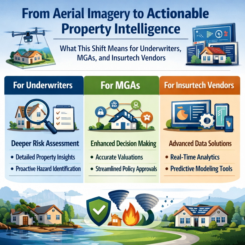
Welcome to our inaugural issue of The Property Intelligence Report, where we explore the latest developments in property intelligence technologies...

Read More
Becoming a Trusted Advisor in Catastrophe-Prone Areas: A Guide for Insurance Agents

3 min read

Becoming a Trusted Advisor in Catastrophe-Prone Areas: A Guide for Insurance Agents

I recently had the opportunity to present to several dozen agents for the PIA Western Alliance last week. The title of my presentation was: ”Wildfire...

Read More
Digital Twins & Property Insurance Operations

3 min read

Digital Twins & Property Insurance Operations

Property digital twins have quietly moved past the proof-of-concept stage, and the implications for underwriting, claims, and portfolio management...

Read More